Marinenavsys
Marine Navigation data made easy.
GPS
GPS Receiver
A Global Positioning System (GPS) receiver is a display system used to show the ship’s location with the help of Global positioning satellite in the earth’s orbit.
Map and Compass
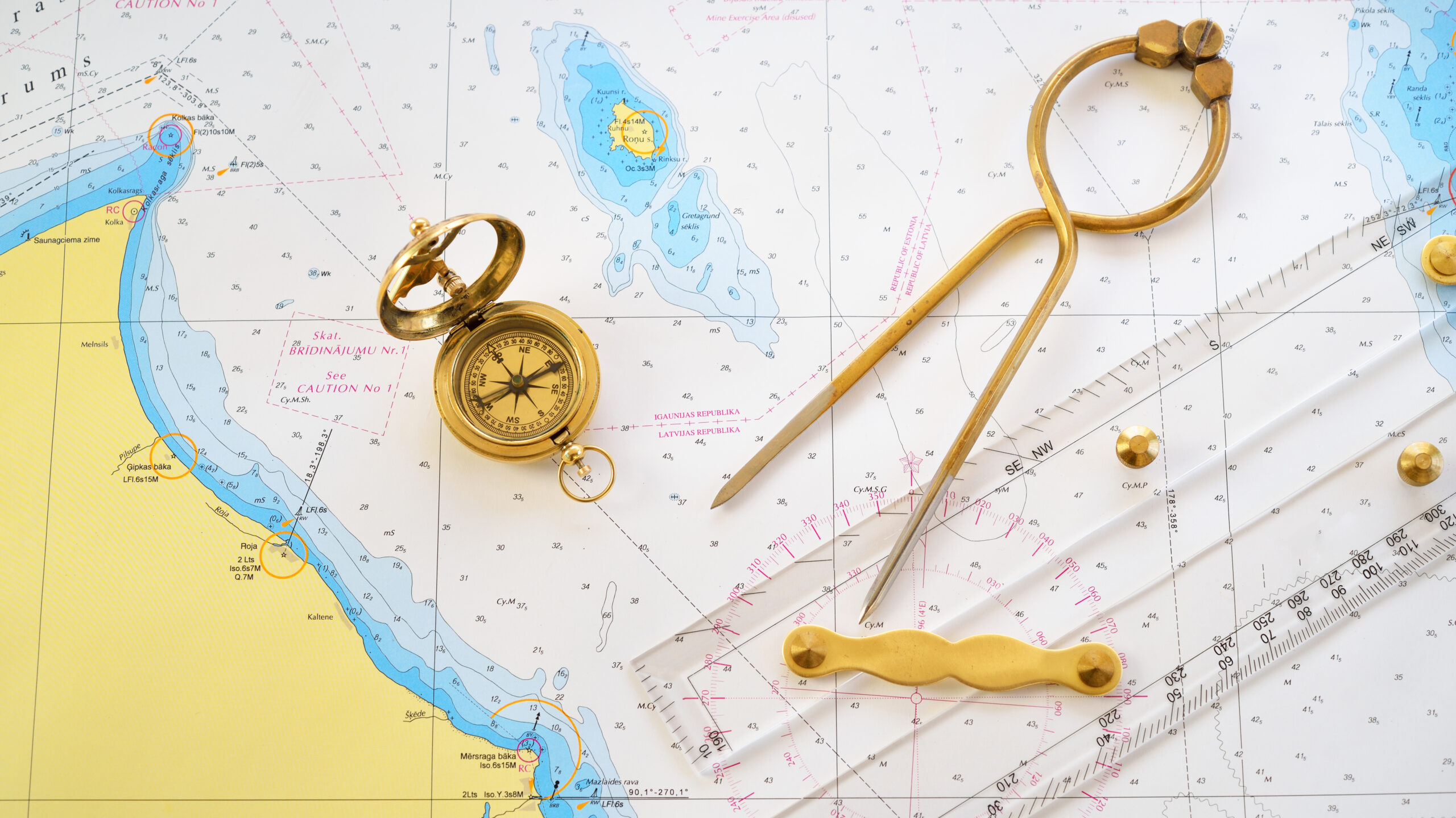
Navigational instruments include global positioning satellite (GPS) systems, compasses, range and depth finders, map measurers, and other items. These instruments are used for surveying surroundings, orienting present location, measuring distance on a chart or map, and determining the best route to a given destination.
Celestial
sextant, instrument for determining the angle between the horizon and a celestial body such as the Sun, the Moon, or a star, used in celestial navigation to determine latitude and longitude. The device consists of an arc of a circle, marked off in degrees, and a movable radial arm pivoted at the centre of the circle.
Trusted Software.
We provide software to the Marine Industry
Marinenavsys software consists of computer programs for reading electronic charts and handling the full range of navigational operations and complementary functions.
Such programs can be used aboard any vessel, recreational, professional and commercial, equipped with a desk or laptop computer, a tablet or smartphone.
This software can be designed for professional use aboard yachts and ships and for recreational activities, especially sailing and racing. Most can read electronic raster (scanned) or vector charts, and can be linked to GPS for position, course and waypoint management.
Certain versions offer specific capabilities such as displaying GRIB or other weather files and Automatic Identification System (AIS) data. Weather information can be used aboard sailboats to determine course as a function of polar curves. When linked to the vessel’s NMEA it can display wind, speed, depth, other data and the option to interact with your autopilot.
The software must be compatible with the computer’s operating system, as well as with the functional parameters of on-board communication systems such as NMEA or SeaTalk®.
Advantages
– Significant time savings
– Expanded functionality
– Compact chart storage + cloud upload
Disadvantages
– Dependant on on-board computer
– Dependant on on-board electrics
– Loss of traditional knowhow (sextant use, etc.)
Historically sailors would have to rely on their years of navigational experience, understanding complex sea charts and determining their position and heading by using the positions of the sun and stars. Luckily modern technology has evolved to make marine navigation far easier than ever before.
Connecting
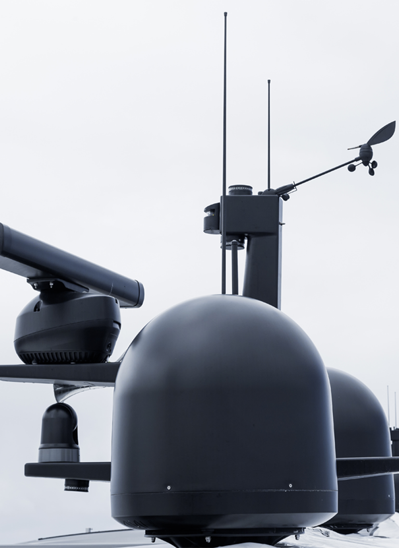
Our products have been developed by marine professionals, with experience in all types of craft.
Our clients have experienced a range of benefits and cost efficiencies by implemention of Marinenaysys Software.
Our software is designed to operate individually or integrated with other marine suite.
Our helpdesk can provide a fast, effective and reliable technical service.


Contact
01202 119815
rupert@marinenavsys.com
Address
Bayside Business Centre
Sovereign Business Park
48 Willis Way
Poole Dorset
BH15 3TB
